
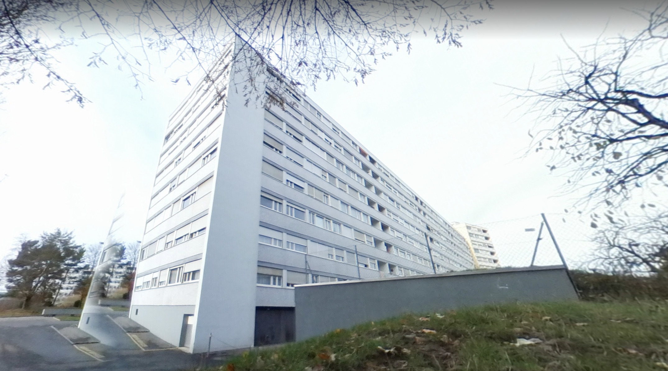
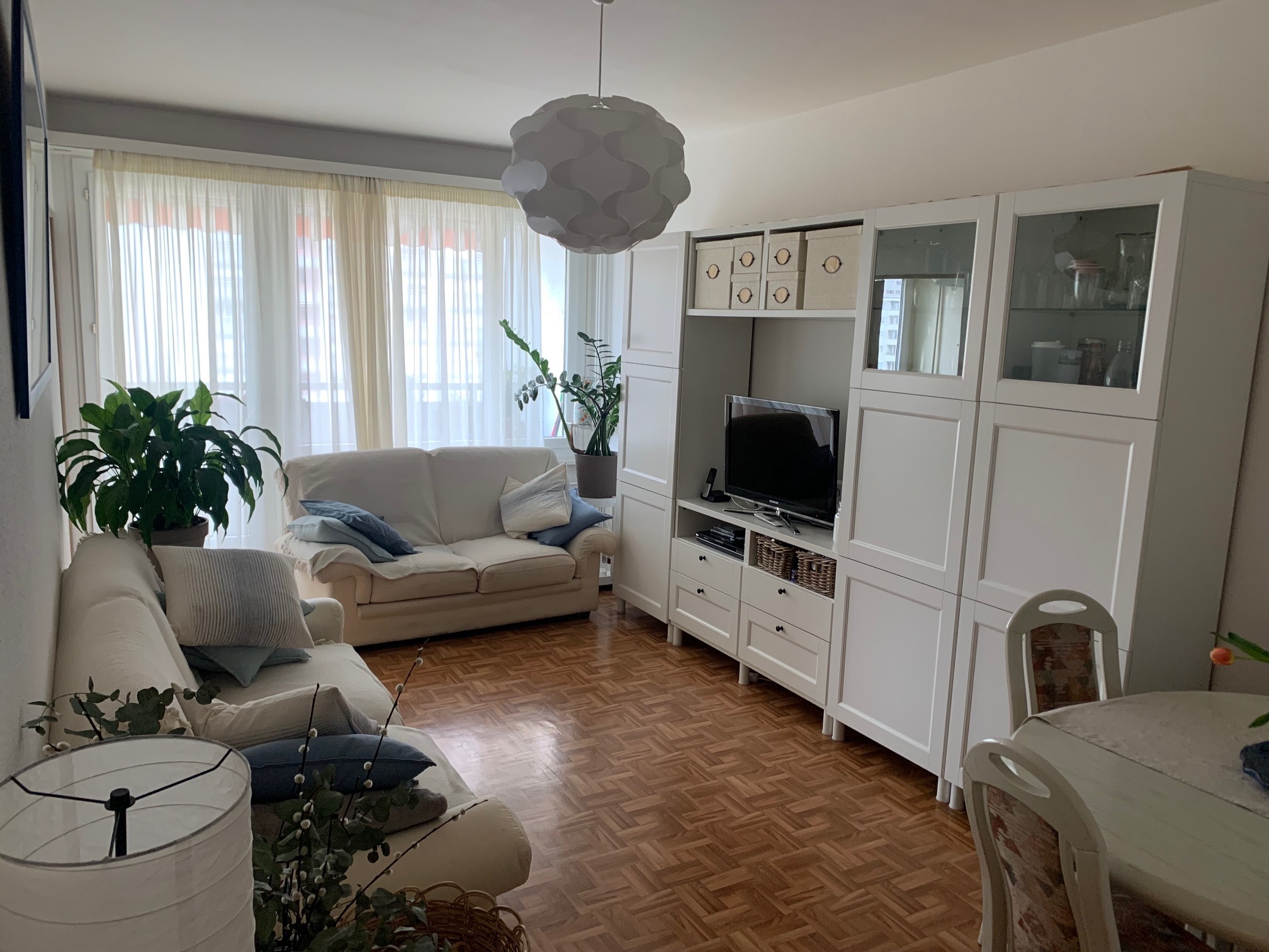
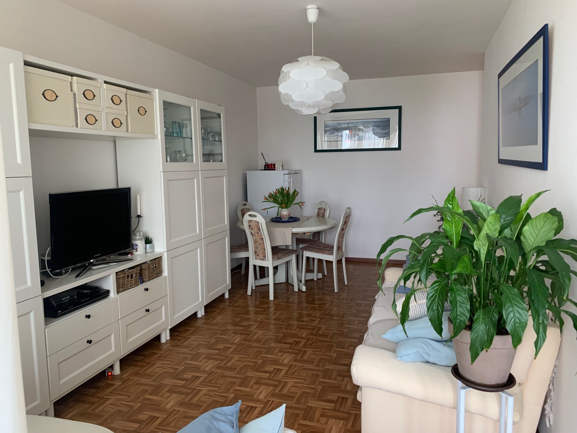
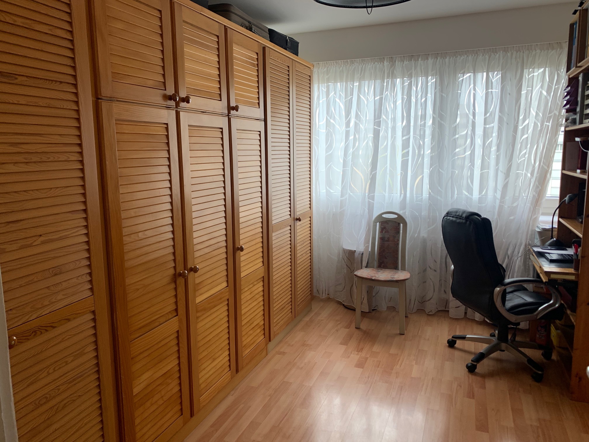
Situés sur la commune de Lancy, à proximité du Bachet et des Palettes, ces appartements représentent une opportunité d'investissement.
Le quartier est très bien desservi par les transports en commun (tram, CEVA, bus) et bénéficie de nombreux commerces et des commodités.
Les deux appartements :
4 pièces au 4ème étage :
3 pièces au 5ème étage :
Le rendement brut actuel dépasse légèrement les 3%.
Le quartier est très bien desservi par les transports en commun (tram, CEVA, bus) et bénéficie de nombreux commerces et des commodités.
Les deux appartements :
4 pièces au 4ème étage :
- Un hall d’entrée avec armoires encastrées ;
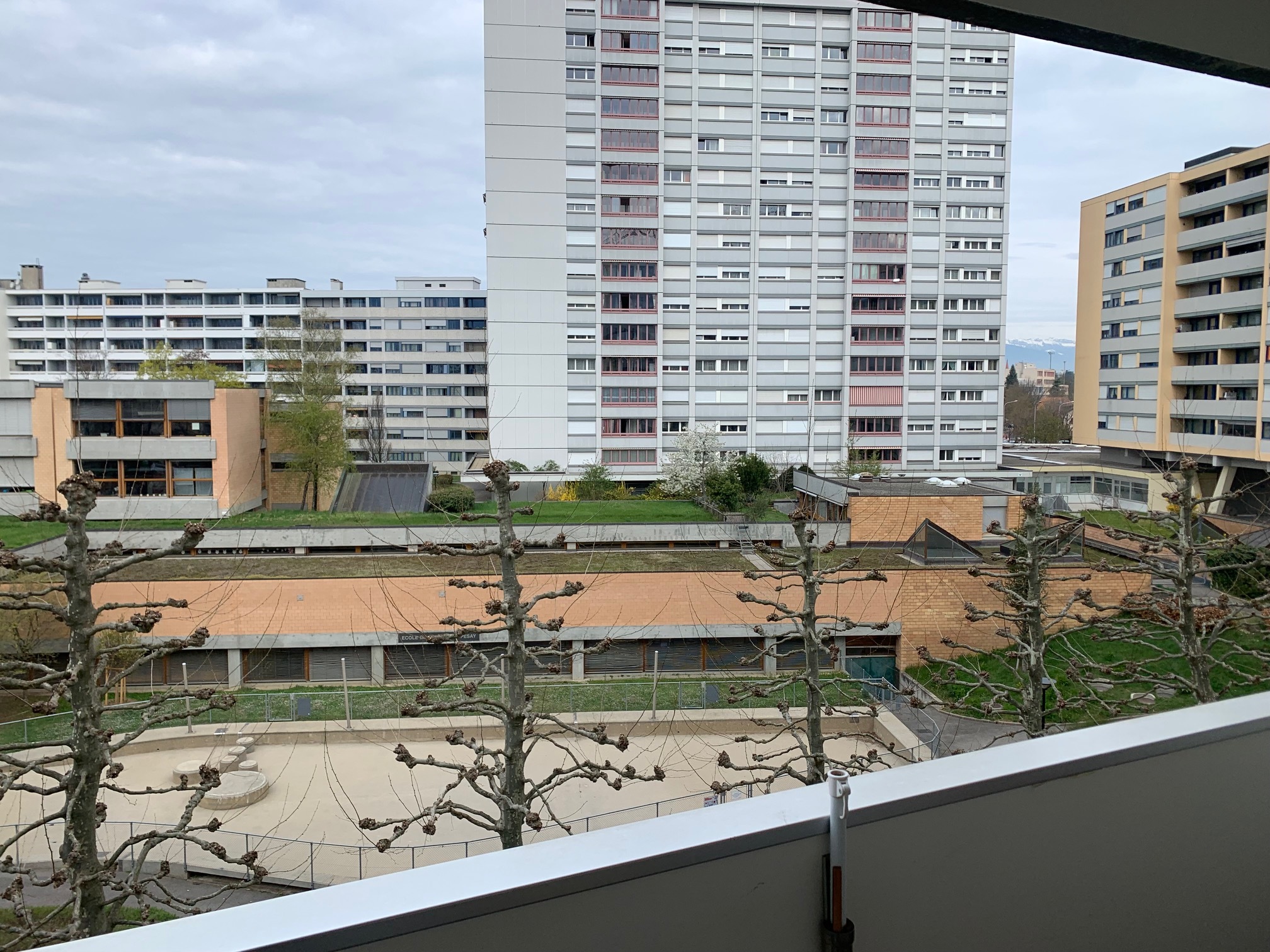
- Un salon (lino), avec accès une loggia ;
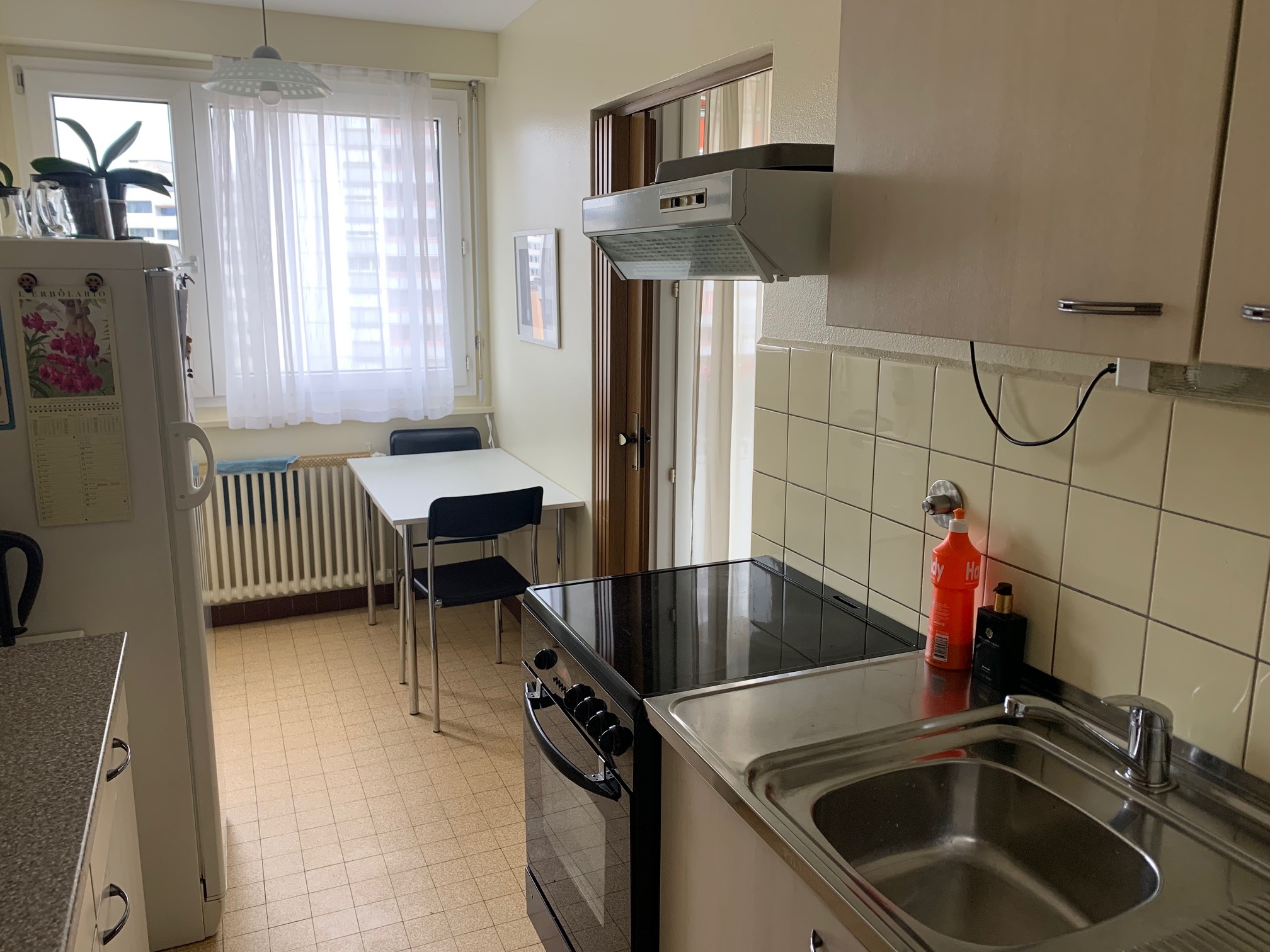
- Une cuisine non refaite ;
- Une chambre (parquet) ;
- Une seconde chambre (parquet) ;
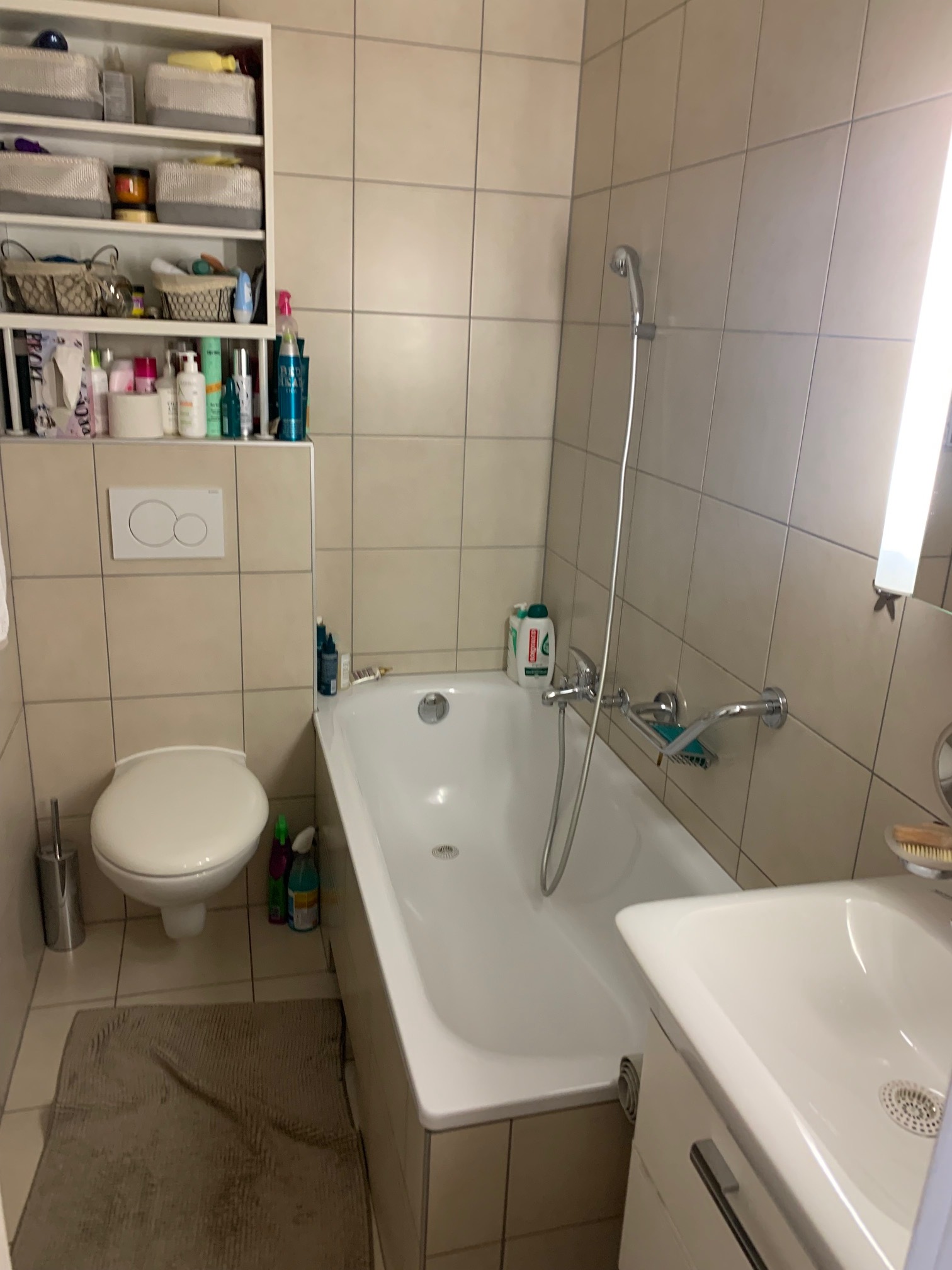
- Une salle de bains rénovée (baignoire, lavabo, WC) ;
- Deux loggias de respectivement 3 m2 et 4m2 ;
- L’appartement a été partiellement rénové et est actuellement loué à un loyer mensuel à hauteur de CHF 857.-;
- Les charges PPE annuelles 2020 se sont élevées à environ CHF 2'414, soit environ CHF 202.-/mois.
3 pièces au 5ème étage :
- Appartement de 3 pièces au 5ème étage;
- Sans loggia;
- L’appartement n’a pas été rénové et est actuellement loué à un loyer mensuel à hauteur de CHF 1’200.-;
- Les charges PPE annuelles 2020 se sont élevées à environ CHF 1'466, soit environ CHF 122.-/mois.
Le rendement brut actuel dépasse légèrement les 3%.
Conveniences
Neighbourhood
- City centre
- Shops/Stores
- Bank
- Post office
- Restaurant(s)
- Railway station
- Bus stop
- Tram stop
- Highway entrance/exit
- Playground
- Nursery
- Preschool
- Primary school
- Secondary school
- International schools
- Bike trail
Outside conveniences
- Loggia
Condition
- In it's current state
Orientation
- West
Exposure
- Optimal
Distances
Public transports
180 m
3'
Primary school
65 m
2'
Stores
10 m
2'
Restaurants
100 m
1'